Observations grouped together by year of event:
New stories may be emailed to me. Email: roger.brugge@reading.ac.uk
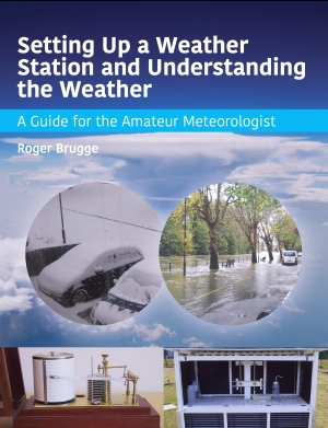
August 2016: Details and order form for this new book about weather observing.
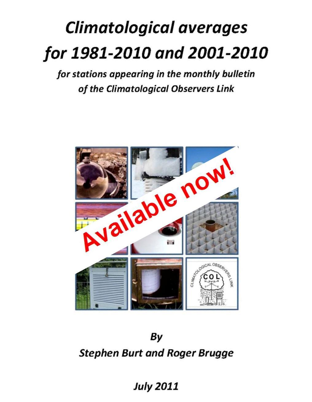
Details and order form for this limited edition publication.
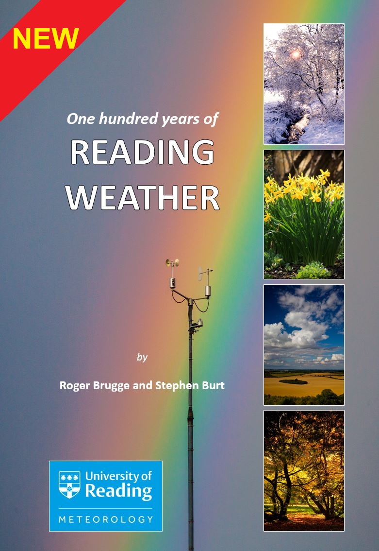
Read about and order this NEW book about the weather of Reading.
Royal Meteorological Society
Make your own weather observations? Then see the Climatological Observers Link
The Tornado and Storm Research Organisation
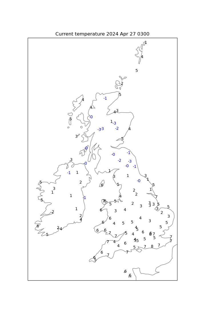
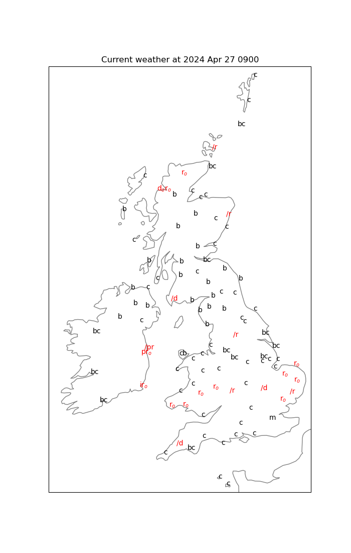
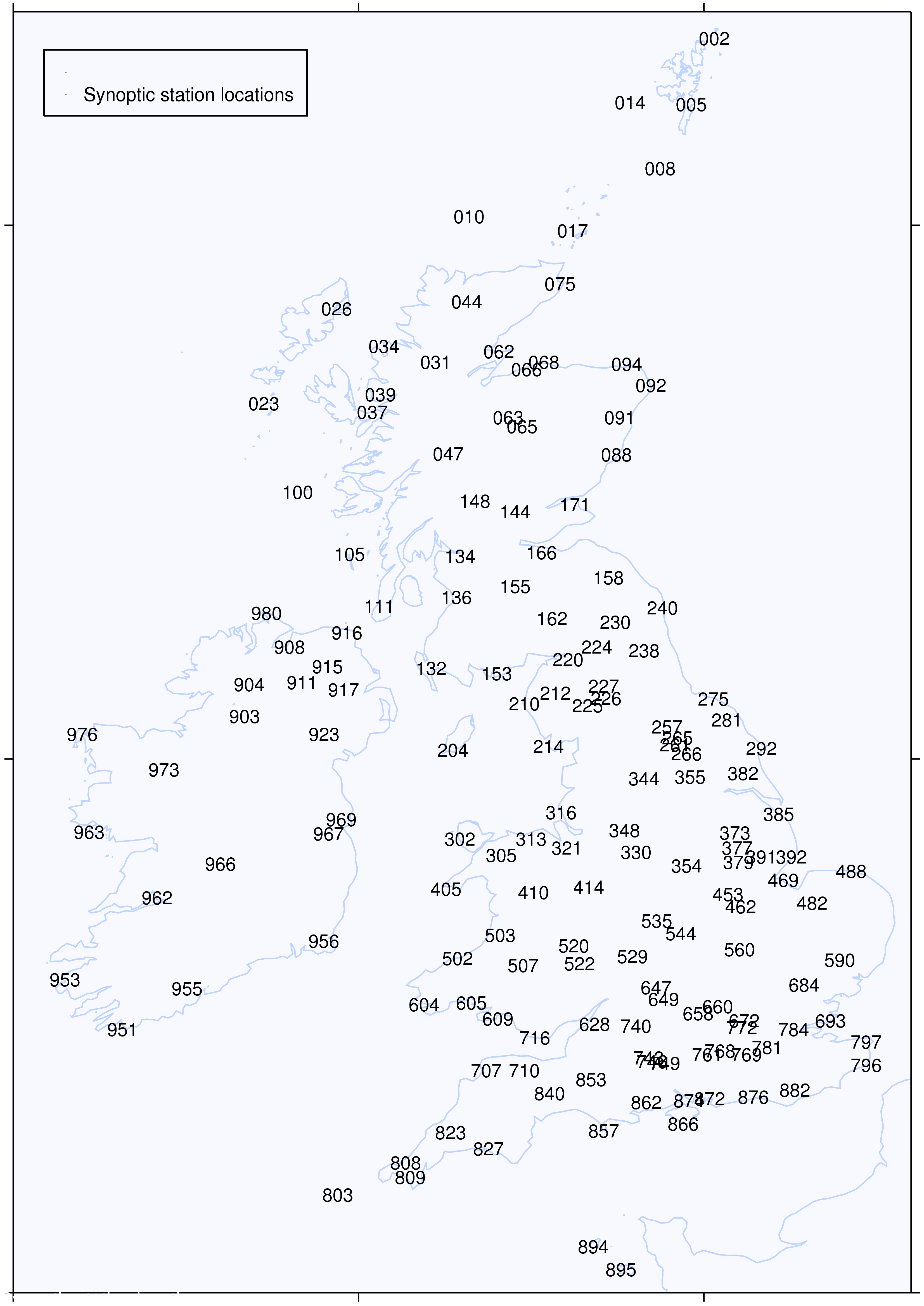
UK/Ireland synoptic station locations:
