Menu
This contains information on the DACCIWA project. I will be looking into the frequency of low-level cloud in southern West Africa as observed from satellite. Low-level clouds are difficult to observe from space for several reasons. At night, the passive infrared radiances used to detect cloud can often not distinguish between the (cooler) land surface temperature and the cloud-top temperatures of low-level clouds. From passive measurements, clouds at higher levels (e.g. anvil or altostratus) obscures the lower levels so presence of low-level cloud cannot be assessed. We will use CloudSat and CALIPSO observations, which provide vertical profiles through clouds from radar and lidar, to establish the frequency of multi-layered cloud and evaluate cloud frequency detected with SEVIRI.
The table below lists the data we are currently investigating.
| Instrument (Satellite) | Time period | Data centre | Geophysical parameter |
| SEVIRI (MSG) | 2004–2011 | DWD CM-SAF | Cloud-top pressure |
| GERB (MSG) | 2004–2011 | RMIB GERB | SW and LW outgoing fluxes |
| CERES (multiple) | 1998–2011 | NASA CERES | SW and LW outgoing fluxes |
| MODIS (multiple) | 2002–2011 | NASA MODIS | Aerosol and cloud optical depth |
| CloudSat and CALIPSO | 2006–2011 | ICARE DARDAR | Collocated vertical profiles of cloud and precipitation |
| TRMM | 1998–2011 | NASA TRMM | 3-hourly rainfall |
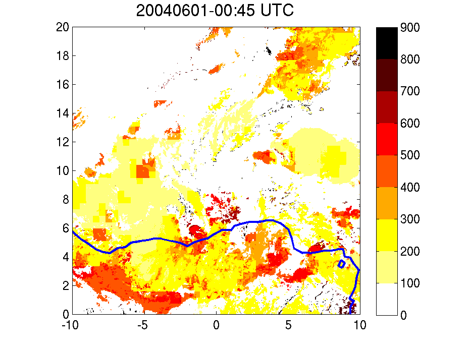
Below is an animation of hourly snapshots of cloud-top pressure for southern West Africa, observed by SEVIRI and retrieved from the CM-SAF database.